
Oakville’s Real Estate Media Experts
Drone Real Estate Photography in Oakville
Aerial stills and smooth video built for Oakville’s shoreline, from harbour and lakefront estates to fairway backing in Glen Abbey. Flight availability depends on the address, the weather and the applicable airspace requirements.
Why Choose Odyssey3D Media
Elevated imagery. Stronger results.
Shoreline position in Old Oakville, a slip at Bronte Outer Harbour down the street, fairway frontage in Glen Abbey: what Oakville buyers pay a premium for sits outside the walls. Aerial photography in Oakville puts the water, the harbour and the golf course into the listing where ground photos cannot.
Let’s Work Together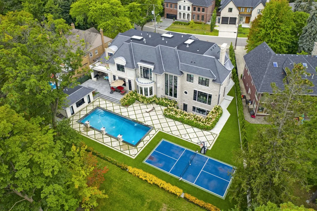
Planned shoreline to fairway
Feasibility is reviewed for the specific address before we confirm, from Bronte to Joshua Creek.
Editorial-grade aerials
High-resolution stills and smooth video polished to the standard Oakville’s market expects.
Quick turnaround, launch ready
Aerial photos are edited and delivered the next business day for MLS and marketing.
Setting buyers can see
Water, harbour, fairway and canopy framed around the home in one clear frame.
Flight Coverage
Oakville properties. Planned from above.
Every address gets a flight plan built around its strongest selling point, from harbour and shoreline context to fairway backing, ravines or mature street canopy.
Old Oakville
Lakefront estate
Wide establishing passes place the home against the harbour, the lighthouse and the shoreline.
Glen Abbey
Golf course home
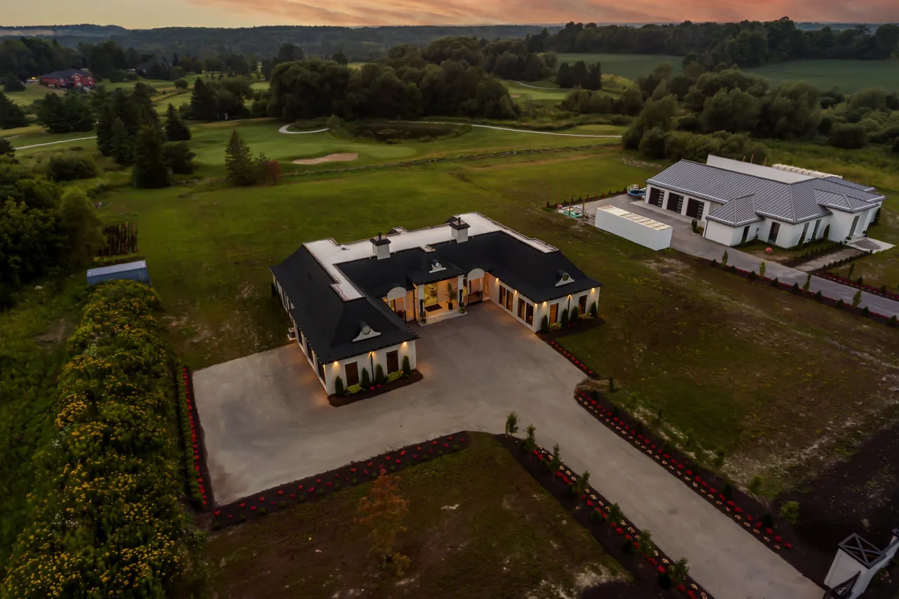
Oblique angles prove the fairway backing that this market pays a premium for.
West Oak Trails
Detached home
The approach, the lot and the trail network behind it give buyers scale before the showing.
Joshua Creek
Executive property
Top-down and oblique angles reveal ravine backing, landscaping and the pool.
Local Experts. Local Perspective.
Proudly serving Oakville
Oakville hugs the lakeshore and is generally more open for aerial work than communities closer to Toronto Pearson, and we still plan every shoot around the specific address, the weather and the applicable airspace requirements.
Simple, Transparent Pricing
Choose the perfect package
Aerial coverage comes included in LEGENDARY PLUS, and it can be added to any other package or booked on its own. See the full pricing page for every package, every home size and every add on price in one place.
Simple Process. Stunning Results.
Our 3 step process
We make it easy to showcase your property from above with a clear flight plan and reliable delivery.
Book and address check
Pick a time at order.odyssey3d.ca. We review the address, weather and flight feasibility before the shoot.
We capture the aerial shots
Our team captures the planned aerial angles when the address and weather allow.
Delivered next business day
Edited aerial photos arrive next business day. Aerial video timing is confirmed with your selected package.
Local Experts. Local Perspective.
The aerial photography team Oakville realtors call first
What We Offer
More than aerials.
A complete media solution.
From immersive 3D tours to photography and cinematic video, we shoot everything you need to present a property properly.
 Immersive 3D Tours
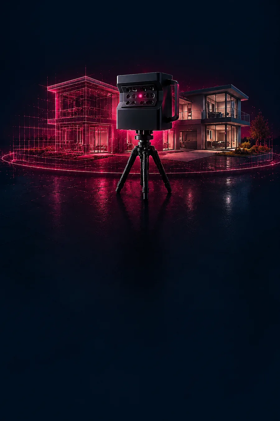
Matterport 3D tours that let buyers explore every space, anytime, anywhere.
Explore in 3D
Immersive 3D Tours
Matterport 3D tours that let buyers explore every space, anytime, anywhere.
Explore in 3D
Tell us about the property
Get 10% off your first Oakville shoot
First time with us? Your first shoot is 10% off. Send the address and what you need covered, from Bronte lakefront to Joshua Creek, and we will plan the flight around the light and the airspace.
Next business day deliveryTiming locked in before you book
(416) 884-2167Call or text, we answer
hello@odyssey3d.caEmail whenever suits you
The Short Answer
When do drone photos add value to an Oakville listing?
Aerial photos are strongest along the water: lakefront estates in Old Oakville, Morrison and Eastlake, homes near Bronte Outer Harbour, fairway backing in Glen Abbey, and ravine lots along Sixteen Mile Creek in Joshua Creek. Aerials give buyers spatial context that ground photos cannot, and they complement rather than replace interior HDR photos.
01
Aerial photography and drone videography in Oakville
For the MLS gallery, aerial stills show the shoreline, the lot and the street in a single frame, and a short aerial video sequence adds the approach in motion for the listing film. Drone video and photos are available together as one package. Pair aerials with real estate photography in Oakville, a cinematic real estate video in Oakville or a Matterport 3D virtual tour in Oakville, and see drone photo and video pricing for the full range.
02
Flying along the Oakville lakeshore
Oakville sits along Lake Ontario, further from Toronto Pearson than the communities up the QEW, and much of the town is generally more open for aerial work. Every flight is still planned case by case: availability depends on the address, the weather and the applicable airspace requirements, and shoreline wind can shift a shoot window. Explore the full drone real estate photography service, or check drone availability for your address before you book.
FAQ
Questions? We’ve got answers.
Everything you need to know about drone real estate photography in Oakville.
Fast turnaroundPhotos next business day
Address checkedFlight feasibility reviewed
Professional aerialsHigh-resolution photos and video
5.0 Google ratingBased on 161 Google reviews
Call or text +1 416-884-2167 and tell us about the listing, or book your shoot online.
Are there drone restrictions in Oakville?
Every municipality has locations that need extra care, but Oakville sits along the lakeshore and is generally more open for aerial work than communities closer to Toronto Pearson. Flight availability still depends on the address, the weather and the applicable airspace requirements, and we review every location when you book.
What aerial shots work for Bronte and Oakville Harbour listings?
The 2 harbours, their lighthouses and the shoreline make Oakville one of the best aerial backdrops in the GTA. We frame the home against the water and the marina to anchor the location.
Can a drone show golf course backing in Glen Abbey?
Yes, an aerial is the only shot that proves a lot backs onto the fairways of Glen Abbey Golf Club, which is precisely what that premium is for.
Are drone photos worth it for an Oakville listing?
They are strongest for lakefront homes in Old Oakville, Morrison and Eastlake, properties near the 2 harbours, fairway backing in Glen Abbey, and ravine lots in Joshua Creek where the setting carries the price. A small interior condo usually benefits less. Pair them with real estate photography in Oakville, cinematic real estate video in Oakville or Matterport 3D virtual tours in Oakville.
What if the weather is bad on shoot day?
High wind or rain can prevent safe aerial capture, and shoreline gusts off the lake are the usual culprit in Oakville. If conditions are unsuitable, our team will discuss the next available option and confirm revised timing.
What is the difference between drone photos and drone video for a listing?
Aerial photos are still images of the lot, roofline and surroundings for the MLS gallery. Aerial video adds the approach in motion, ideal for tracing a shoreline or a fairway edge before settling on the home, and works best cut into a cinematic listing video. Many listings use both, and drone video and photos are available together as one package.
Can drone photos show the property lines or lot size?
Aerial photos show the shape and size of a lot and how it sits between the street and the water or the fairway, which helps buyers understand scale. They are marketing images, not a legal survey, so they do not replace a surveyor’s property lines.

Ready to Elevate Your Listing?
Let’s capture it from above.
Show the shoreline, not just the rooms. Book your Oakville aerial shoot.

Toronto’s real estate media experts. Cinematic. Strategic. Built to sell.
More ways to market your Oakville listing
Real Estate PhotographyMatterport 3D Virtual ToursReal Estate Videography10% OFF Your First Shoot
Aerial photos back the next business day.
Get 10% off your first shoot with us. Tell us about the listing and we will lock in your shoot window.